Approximately 20 miles north of our campsite in Bandon’s Bullard State Park is Cape Arago. We headed in that direction on day 2 of our week-long Winter Fling to the Oregon Coast, and took the back roads through rural coastal Oregon. Heading north from Bandon, and not far beyond the Bandon Dunes Golf Complex, is Seven Mile Road that more closely parallels the coast and presented us shortly with Whiskey Run Wayside. From there, we continued north to the South Slough National Estuarine Research Reserve that was quite a surprise. From a wildlife perspective, it was rather quiet but the myriad of trails throughout the reserve were exceptional. Closer to the slough, boardwalks have been installed with a bit of flair that we found refreshing. At the end of the “Railroad Trail” is a connecting steel bridge separating two lagoons with several observation platforms nearby. We lunched and found the afternoon sunlight a pleasant reprieve from having hiked in the dense coastal forest.
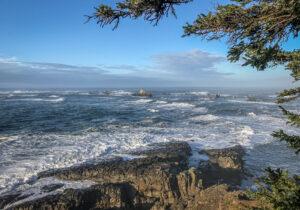
From the South Slough National Reserve, we drove north through massive clearcuts, nearly reaching Charleston before heading west to Cape Arago (pronounced Árago). The narrow, windy road presents several surprises along the way: beaches, Sunset Bay State Park, and at the end of the narrow road a parking area with access to several vista points above the crashing surf below. It was a particularly high tide, and Black-headed Turnstones cozied up to bellowing Sea Lions on one particular rock somewhat protected from the turbulent sea. Being a point, the return drive permitted us to revisit some of the pullouts overlooking several coves, and we chatted with a local surfer who looked covetously at the 15′ swells. “We’re local surfers, and that break is too much for our motley crew.” Farther on is an expansive beach where a few boogie boarders were waiting for smaller waves amidst the bobbing heads of Harbor Seals. As the tide was retreating, we walked out a bit trying to get a little closer to an Surf Scoter without success.
After pretty much a full day exploring the cape in the blustery weather, we chose the quicker Hwy 101 back to Bandon and our cozy trailer. Bullard State Park was a pleasant surprise. We’d arrived without reservations and discovered that only C-Loop was open. Many of the sites on the west side (closest to the coast and farthest from noisy 101) were occupied. They were mostly shaded, private, and we selected an interior site (C45) that had better solar access and turned out to be very birdy (Golden-crowned Kinglets and Chickadees). With the exception of several “Walk-in” sites, all the rest are available for the first night but subsequent nights must be reserved online. With spotty cell service compromising our iPhone’s “hot spot,” I called and annoyingly paid the $8 service fee in addition to the $31/nightly rate. Were one to select the designated “Walk-in” sites, there are no online requirements and you merely use the paper forms available at the kiosk.
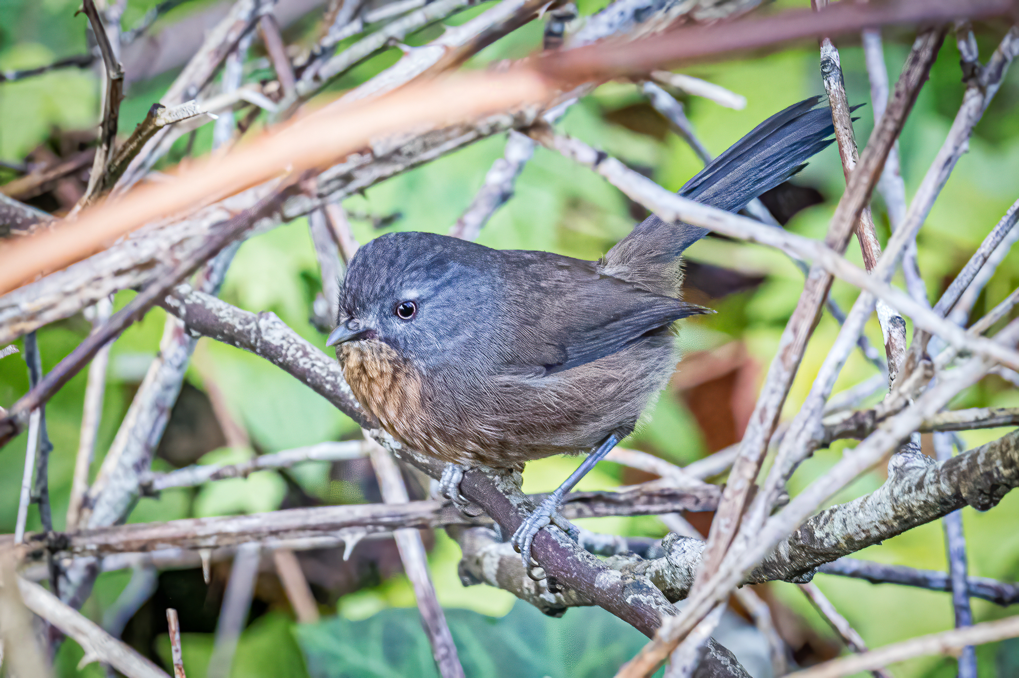
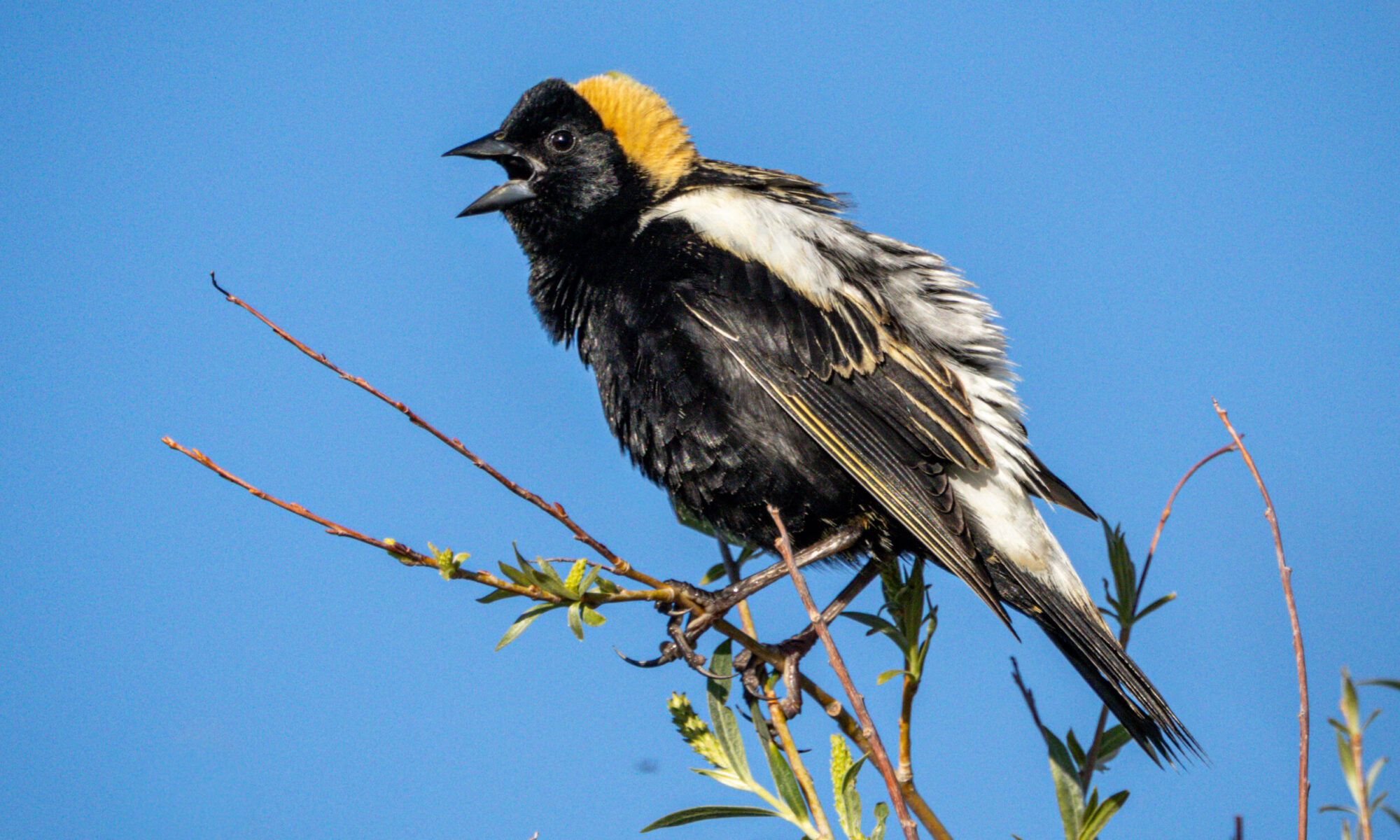
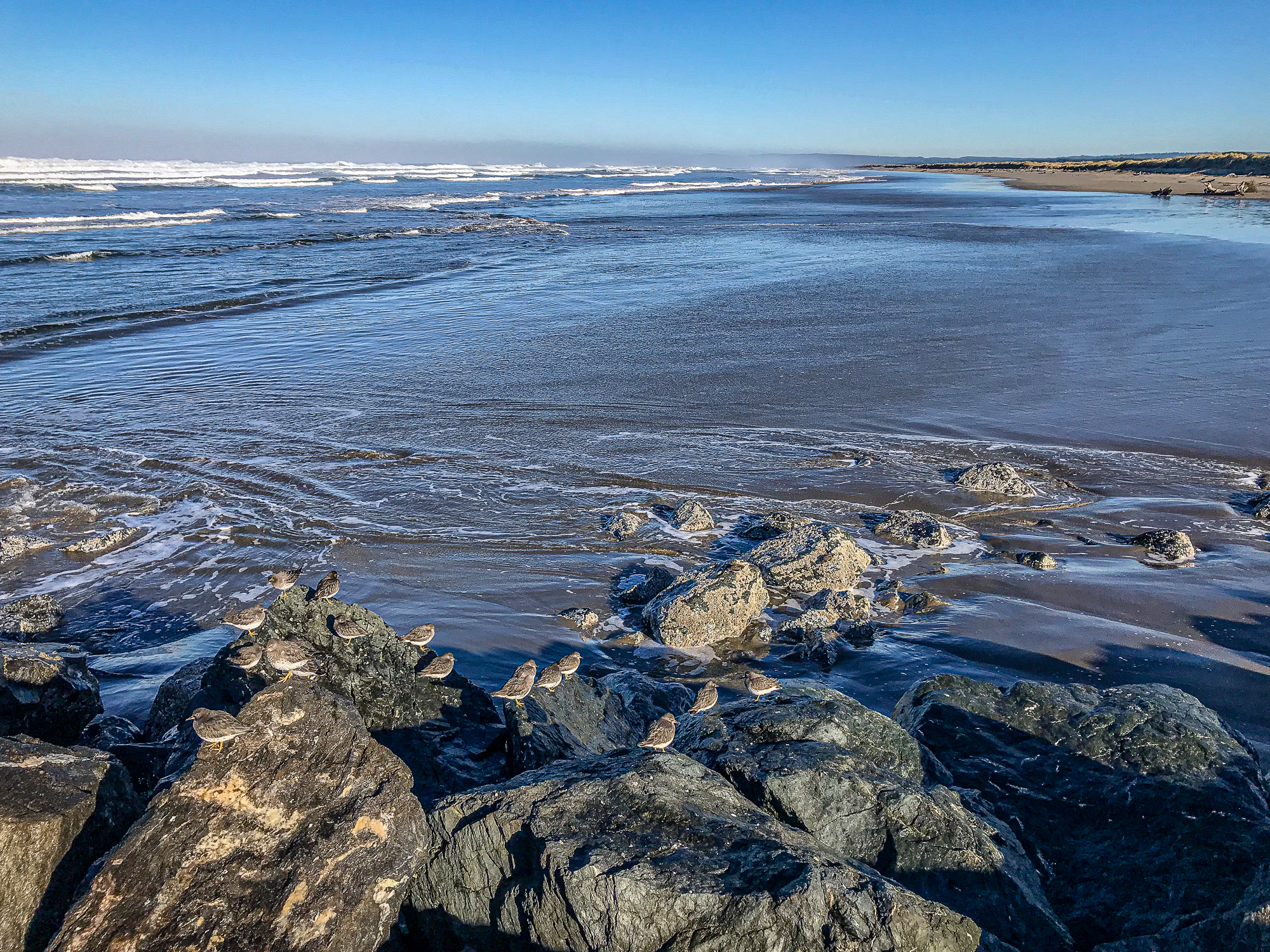
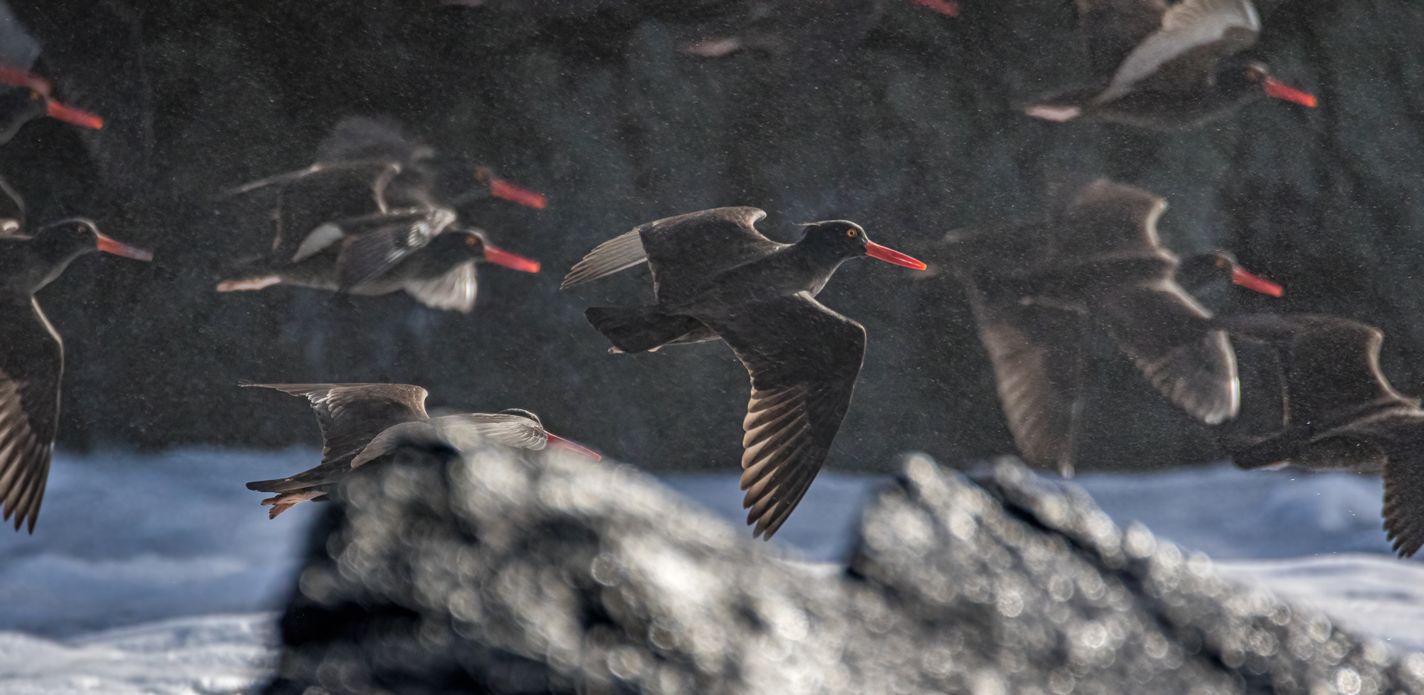
We really enjoyed Bullard SP, and spent one day hiking to the beach from camp. The trail begins from the west side to B-Loop, and wanders through dense Salal and Wax Myrtle that made birding particularly challenging. We were not alone, however, with Wrentits’ calling to each other with their distinctive bouncing-ball song. We were patient and spotted a couple bustling about in the underbrush. In addition, Golden-crowned Kinglets, Chickadees, and Rubies were abundant but difficult to photograph in the low light beneath the canopy. The trail passes through several different habitats, and after an appreciative wave to our Asian friends across the Pacific, we headed back toward the “Horse” camp. The first part was difficult walking in the sand, but we located a service road and lunched at an empty campground with a couple overhead hawks keeping an eye on us. The bathrooms were clean, and the area around them was pretty birdy (Fox Sparrow, Bewick’s Wren, and LOTS of yellow-rumps). The following morning we drove out to the vintage lighthouse (1896) and birded the jetty. Tide was coming in, so we only had a brief window of opportunity to spend time with Black Oystercatchers, Surfbirds, and Black Turnstones. There was a also a couple Wandering Tattlers to round out the bunch. We found it interesting to see the top/backs of the Black Turnstones’ wings appearing more black than when they’re perched (appearing brownish).
After 3 nights in the Bandon area, we spent a couple nights in Gold Beach. Our original plan was to stay in Port Orford at Cape Blanco SP or Boice Cope County park (just outside Langlois) but both were closed. The latter is located on Floras Lake and is a popular destination for windsurfers. The campground is clean and the nearby coast is seasonally designated as nesting area for Western Snowy Plover. Throughout the journey, we referred to an online guide, The Oregon Coast Birding Trail, that is an essential resource. It introduced us to the Elephant Bar Nature Trail that meanders along the south side of the Rogue River through dense Willows. Many kudos to the volunteers who maintain that trail.
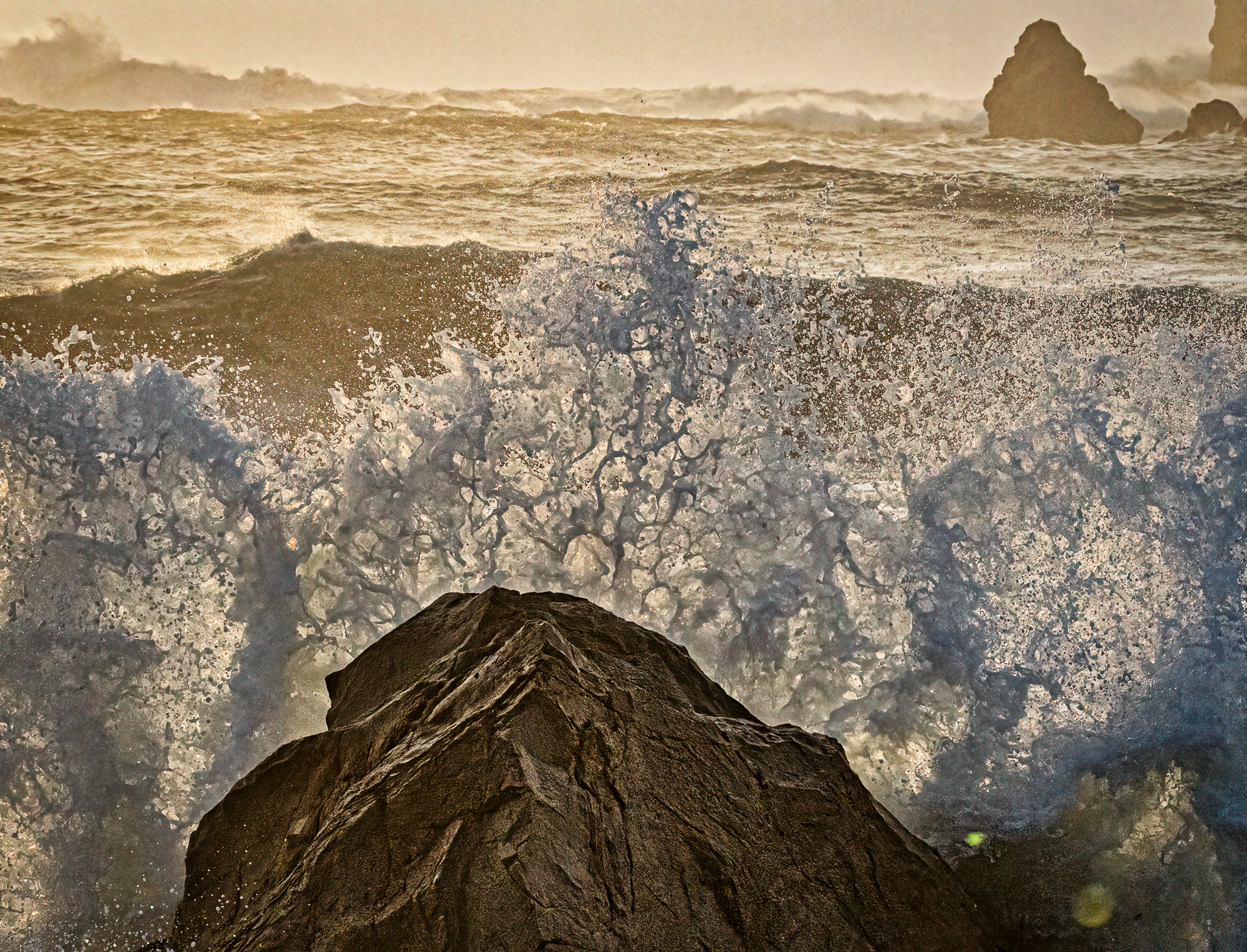
We were really blessed with good weather and continued south to Brookings where we’d reserved a campsite for a couple nights. Our previous experience at Harris Beach State Park was unremarkable. We were in C-loop that bordered Hwy 101 and the constant traffic noise conflicted with the nearby surf. This time we were in a great spot (site A03), not far from the trails to the beach, and sunny in the afternoon. The highlight was surf even bigger than what we’d experienced farther north in Cape Arago. There are two accesses to the beach from the campground, and the following day we drove into into town to reach the Chetco Point overlook. To get there, you take Wharf Rd. to the Water Treatment Plant and park nearby. The asphalt path is clearly marked as it’s also access to the dog park (Note: there’s a limited amount of parking). The view of massive 20′ waves exploding on the craggy rocks straight down was exhilarating. And a bit unnerving.

We discovered a new hike in the Redwoods thanks to some friends from Bend who happened to be camping near us. The Simpson-Reed 1-mile loop trail is an easy walk through massive trees and is ADA compliant. After stocking up at the All-Star liquor store on the CA border, you take Hwy 197 toward Cave Junction. At the intersection with Hwy 199, turn RIGHT for a ¼ mile to the narrow road to the trailhead. Caution: taking a trailer on this road is NOT advised, and I was able to turn around farther down the road thanks to having a small trailer (and an extra set of eyes). Note: right before the intersection (heading west on 199) is a pullout for another access to the trail.that would be preferable with a trailer.